


Ultra-High Performance Concrete for Bridge Preservation and Repair: NJDOT Example Featured
This article first appeared in the FHWA’s EDC News Weekly Newsletter of April 29th, 2021 and featured how NJDOT has applied UHPC for bridge preservation and repair. In the final week, we’ll highlight the New Jersey Department of Transportation (NJDOT),...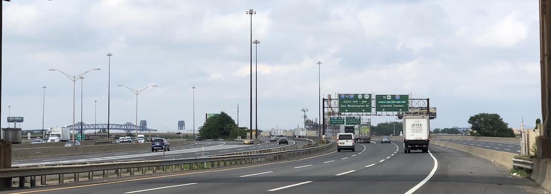
To Replace Falling Gas Tax Revenues, Eastern States Explore Mileage-Based User Fees
Traditional fuel usage is expected to plummet as the country transitions to zero-emission vehicles (ZEVs). State and Federal gas taxes, traditionally the predominant source of transportation infrastructure funding, will no longer suffice with this vehicular fleet...
Developing Next Generation Traffic Incident Management in the Delaware Valley
Traffic Incident Management (TIM) programs help first responders and traffic operators to better understand and coordinate roadway incidents. As part of the sixth round of the Federal Highway Administration’s (FHWA) Every Day Counts (EDC) initiative, the agency...
Research to Implementation: Design and Evaluation of Scour for Bridges Using HEC-18
This Research to Implementation video presents an example of NJDOT-sponsored research and the effect such research has in addressing transportation-related issues within the State. Bridge scour is the removal of sediment such as sand and gravel from around non-tidal...
NJDOT Tech Transfer Newsletter – June 2021
 |